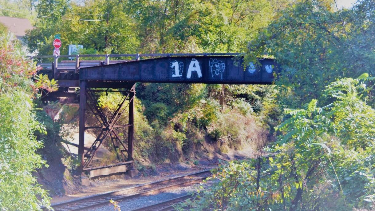
Maryland’s Purple Line light rail is one of the Washington, D.C. region’s biggest transit investments of this century, spanning 16 miles and 21 stations from New Carrollton to Bethesda, Maryland. Of all the communities the Purple Line will touch, the jurisdiction of Silver Spring is undoubtedly the largest, boasting nine of the 21 stations. And while many people know the story of the Purple Line—its origins, its cost and its controversy—how much do they know about the communities it will inhabit? This semester, urban planning graduate students set out to bring a new story to the forefront by highlighting the voices of those who live, work and play within a one-mile walking distance of Silver Spring’s nine proposed Purple Line stations. Silver Spring Connect: People and Places along the Purple Line captures hundreds of interviews—conducted over three months during the fall 2017 semester—and visualizes them through nine interactive, online story maps—one for each stop. The project was developed for Montgomery County as part of the Partnership for Action Learning in Sustainability, with the help of Reemberto Rodriguez, Director for the Montgomery County Silver Spring Regional Services Center. Clickable icons along the corridor map expand into mini stories of beloved family-owned shops, favorite walking trails, cultural art retreats and unique landmarks. More importantly, it stitches together an important narrative about community identity through its assets.
"Local governments like Montgomery County are working very hard to provide a sustainable future for all their citizens, including good housing, employment, transportation, services, and recreation,” said Kimberly Fisher, manager of the PALS Program. “They are helped in those goals by the increasing amounts of data from many sources; however, agency staff, decision makers and the public all need tools to understand it, and how it can be used to inform government policy and programs. Story maps, like the one produced for the Purple line, are one of the tools to bridge that gap between data and decision making."
“[The students] did an incredible job with this project,” said Rodriguez. “The work will really add to the body of knowledge about the Purple Line in a substantive and meaningful way.”
The student authors are Ridhima Mehrotra, Jack Narron and Holly Simmons. Explore the student’s work, here. Learn more about the power of story mapping, here and in this article.