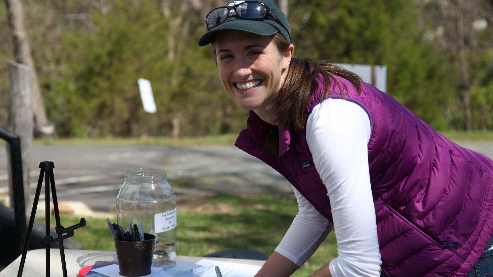
The physical remnants of our past play a critical role in our country’s narrative; they document our struggles, inform our progress and are a remembrance of those who paved the way. Perhaps no one knows this more than a preservationist, and HISP alum Kristie Kendall (‘10) is no exception. A historic preservation manager for the Piedmont Environmental Council (PEC) in Virginia, Kristie oversees the integration of historic preservation efforts into land conservation and land use programs, working closely to ensure the protection of the many battlefields and historic structures that dot Virginia’s countryside. In addition, Kristie is involved in mountain heritage outreach, work that spurred her new book, These Hills Were Home, which tells the story of the once flourishing Blue Ridge Mountain communities of northern Greene County and western Madison County, Virginia (for trail enthusiasts, the book also contains an annotated trail guide). Below, Kristie discusses the magic of LiDAR technology in uncovering forgotten histories and why today’s communities hold the key to preserving the communities of our past:
Notable project from this past year: Last summer, PEC was awarded a grant from the American Battlefield Protection Program to research two, largely unrecorded Civil War battles that took place in Madison County, Virginia. These two battles, Jack's Shop and James City, were cavalry engagements that covered a huge swath of the county. Documentation and mapping of these engagements will fill an important void in the history of the Gettysburg and Bristoe Campaigns and will pave the way for future preservation efforts within the landscape of these battlefields.
A new tool or technology you cannot live without: LiDAR data is just now becoming publicly available in Virginia. It's a remote-sensing method of obtaining information about the Earth. What's amazing is the data gathered from LiDAR shows images of ground cover without all the vegetation seen on an aerial photograph. The data can show old road traces, depressions that mark former home sites and even burial grounds. I think the potential of LiDAR data for uncovering early settlements or forgotten communities is incredible. I hope to be able to use it as I continue to document mountain communities in Shenandoah National Park.
Innovation/Idea for shaping the built environment that you think holds promise: Though it's not a new idea, I continue to believe that community engagement is one of the most important tools for preservation. Placing value in a space - whether it's historic value or otherwise - comes when people make deep connections and identify with the importance of that space. If you can get people to see the value in and significance of a historic building, a battlefield landscape or an area ripe with archaeological potential, then you can convince them of the importance of saving it. Decades from now, we will still be relying on our surrounding community to shape the world around us.
The last great book you read or show you binged: Mercy Street. I'm a huge sucker for any well-researched historic dramas and, sadly, there just aren't enough of them on TV. If you haven't watched, I highly recommend doing so. It's based in Civil War Alexandria, Virginia, and follows the lives of the wealthy Green Family, caught in a world under Federal occupation at the literal crossroads between the North and the South.
What’s next for you (professionally and/or personally): I plan to keep documenting the historic mountain communities within Shenandoah National Park in hopes that a second volume of These Hills Were Home could focus on areas not covered in this first book. I also have a six-month old son now, so I'm looking forward to hitting the trails with him and my husband this winter to begin more research.